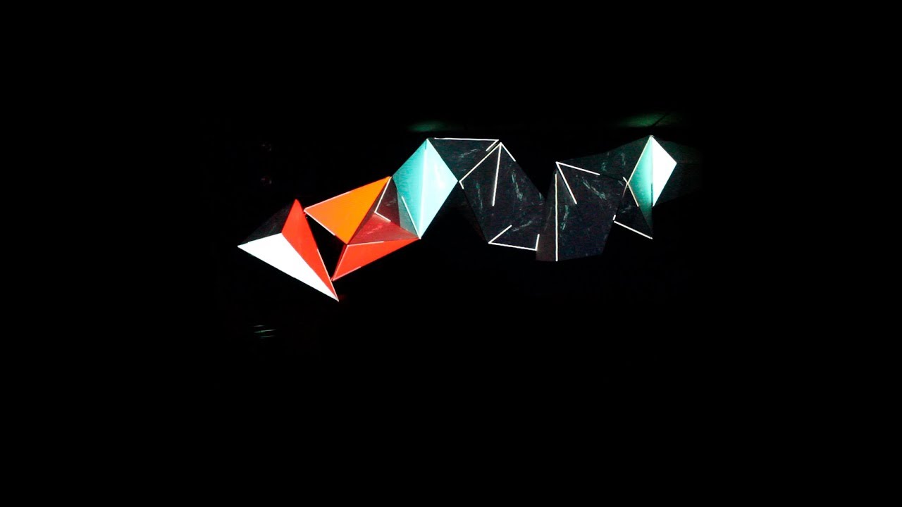
Projection technology is increasingly developing with the widespread use of video mapping as part of the decoration of a particular activity or event. Using projections to display images and videos through a computer would be natural. At school, in public places, even at home, you can get projection screen technology easily. But did you know that image projections can also be done on other surfaces, for example like houses, streets, to other structures? Try to imagine what if the Eifel Tower, to the National Monument are given visual effects from video mapping? Very amazing for sure. See more about 3D Video Mapping in this article.
Who has never used a projector screen? Surely almost everyone has ever used the name projector for various needs. You might use this tool to watch your favorite movies with friends or as a media presentation in class. It turns out that not only on the screen, you can also project images or videos to other objects such as parks, fields, and even homes. The picture can also move and seem to interact with you. Here it is called video mapping or projection mapping.
Projection mapping often called spatial augmented reality or video mapping is a projection technology. Video mapping is used to transform objects in irregular shapes into a screen surface for video projection. It usually uses buildings, small indoor objects, or stage performances. By using special software, two or three-dimensional shaped objects are mapped spatially (spatial mapping) on virtual programs that can mimic the target projection area. The software is able to interact with a projector to project the desired image to the surface of the target object.
Initially video mapping was a revolution of map record visualization. By recording a Global Positioning System (GPS) signal with videotape, then entering data into a computer, so that maps can be reviewed more easily and more real. What used to be only written data, now can share the experience in the field. With this advanced technology, artists and creative people began to mix the mapping with video and other beauty to give birth to video mapping.
The process of making this video mapping consists of recording, indexing, and reviewing. The first process is recording or recording audio and visual to be registered geographically or geo-registered. The data is taken from GPS satellites and then converted to video cameras. So that every GPS satellite captures data at the same time, the video camera also captures it.
Then the second is indexing, the image captured by the camera is connected to the computer by converting it first into digital form. The last step is a review where the indexed database can be accessed audio and visual. Then the operators or video designers can insert the video that has been prepared for application to the projector. Video designers can use MadMapper, HeavyM, and other software.
One of the most important things that must be kept when you want to undergo or make a video mapping is the need for total dark conditions, both in the object to be highlighted and in the surrounding area. This is the foundation for video mapping because light projection bounces best in pitch dark. By fulfilling these basic requirements, the size, shape, stillness or movement of an object, object, or area to be projected is not a problem. Then the projector used has a minimum power of 10,000 lumens to project the video.


